
OmniSpatial
Browser-based field and office data collection.
OmniSpatial is Rizing’s browser-based field and office data collection and integration product. OmniSpatial provides easy-to-use GPS-enabled data collection that integrates with existing Esri map and feature services, including roads and highways and pipeline referencing extension linear referencing services.
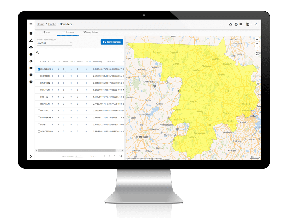
Online or offline data collection and validation
Automatically download the progressive OmniSpatial web application to the device when opened.
Use the OmniSpatial web application to interactively cache data for offline use by attribute query, what’s on-screen, or a defined geographic area (e.g., county border).
Systematically relocate existing assets or capture new assets using GPS locations from the device (field) or using mouse cursor locations (field or office).
Flexible User Interface on Multiple Platforms
Configure a common UI for field and office applications on Windows, Android, or iOS.
Collect geotagged images, videos, notes, and audio memos for specific assets or for any location on the map.
Use any number of window tiles to view needed data.
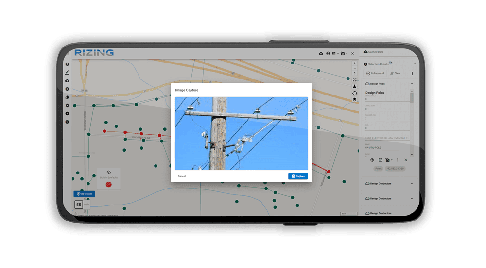
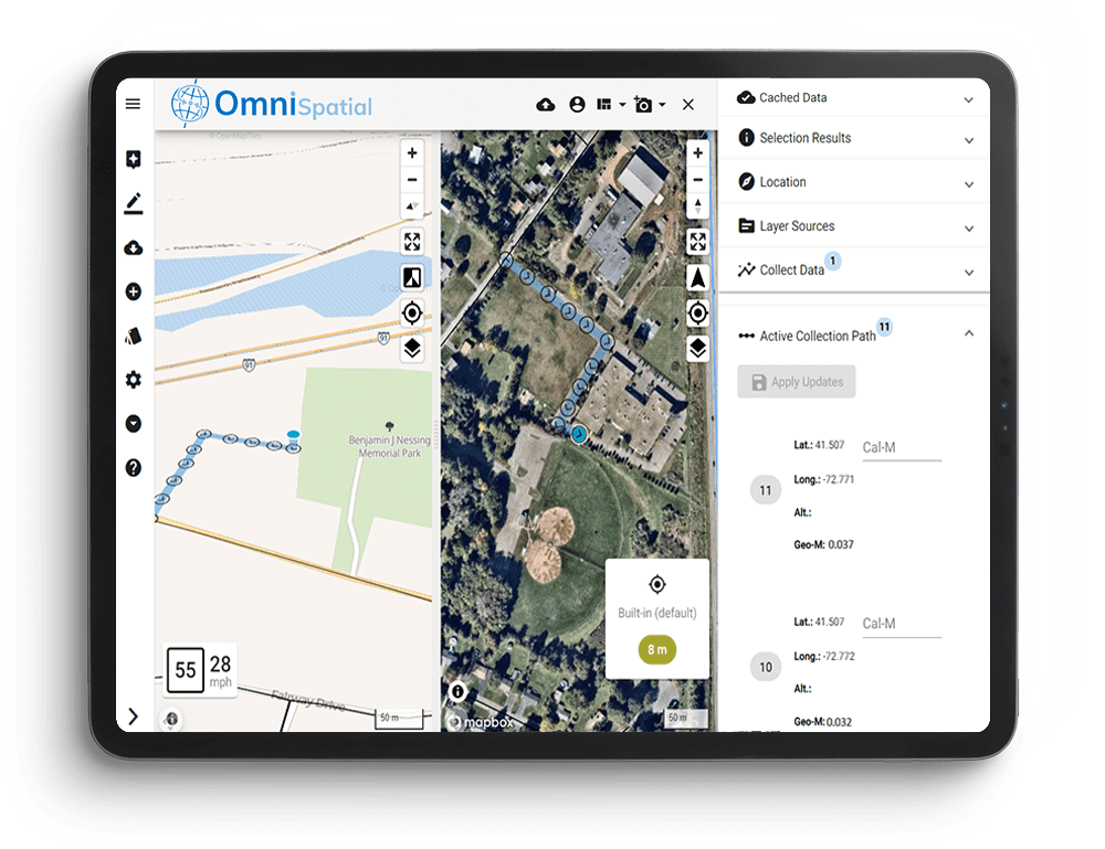
Map collection or LRS collection
Capture asset/feature locations and attributes by point, line, and polygon on the map. Locate linear data extents along a linearly-referenced map feature (road surface types, highway shoulder widths, pipe materials/coatings, etc.).
Capture new linear features with LRS measures (geometry or driven) in the field and assign linear attributes in the same collection pass.
Update data and collect roadway centerlines, assets, inventory, and characteristics in the field or at the office. Synchronization leverages source system web service calls to maintain data integrity.
Extendible field and office application for consistent data entry
Update and collect data for roadway centerlines, assets, inventory, and characteristics in the field or office. Synchronization leverages source system web service calls to ensure data integrity is maintained.
In the field, downloaded and cached enterprise data (or online data if connection is available) is collected and updated in the field. Newly captured data synchronizes with the enterprise database when network connectivity is reestablished. Quality reviews can be conducted prior to synchronization, or data can be synchronized into a quality review environment prior to formal updates to the source system of record.
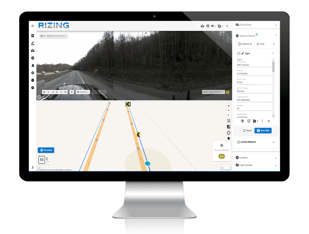
OmniSpatial’s extendable architecture provides access to many raster, tile, and web services as well as file-based geospatial data (GeoJSON, Esri Shapefile, Excel, CSV, etc.). Its unique architecture allows location data to be used in URL integrations with multiple map displays, image systems like Google Street View, and visualization products like straight-line diagrams. As a progressive web application, OmniSpatial automatically downloads to the calling device upon initialization and is available in connected and disconnected modes.
Devices can also download enterprise data through easy-to-use tools for disconnected use. Upon completion of field or office updates, data can be reviewed and synchronized back into the enterprise data structures via vendor web service calls to ensure data remains current according to proper data update processes.
